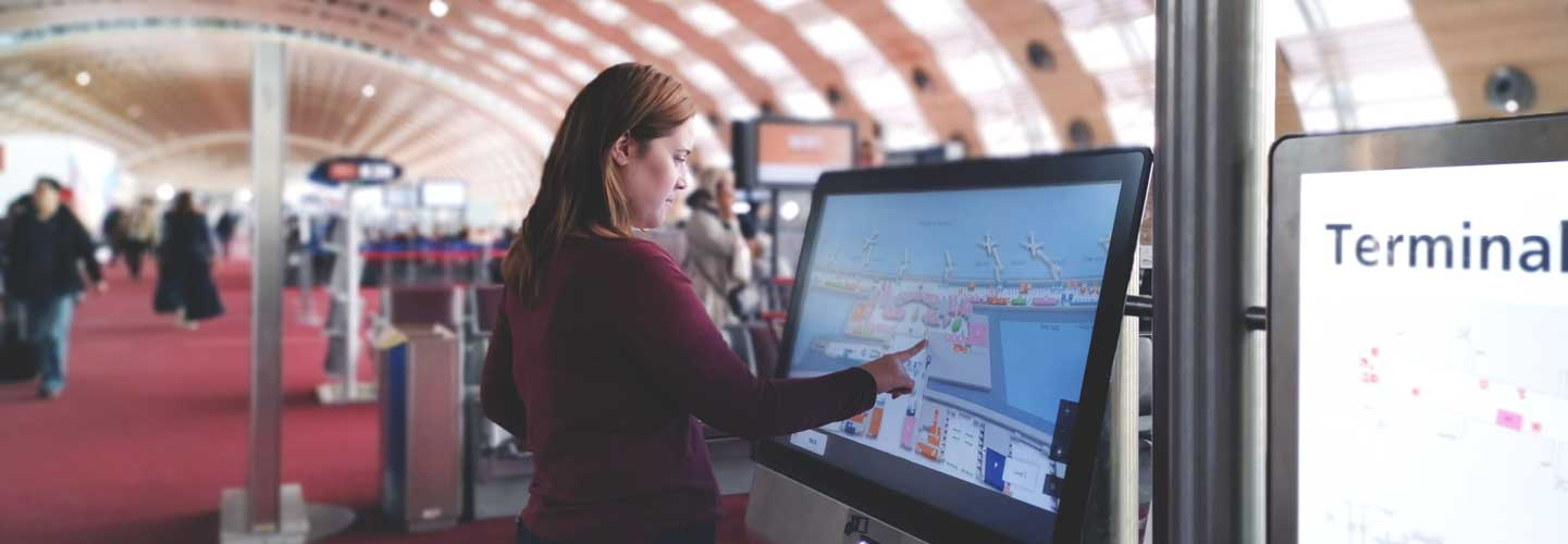
Visualise and understand the layout
Levels, volumes and recognisable landmarks make large buildings and complex places easier to read.
Find a destination, understand the place and know which way to go. Compass turns site maps into a wayfinding tool for visitors, travellers and employees.
A clear journey starts with a readable map. Compass brings places, services and routes together to help people prepare their journey and find their bearings on site.
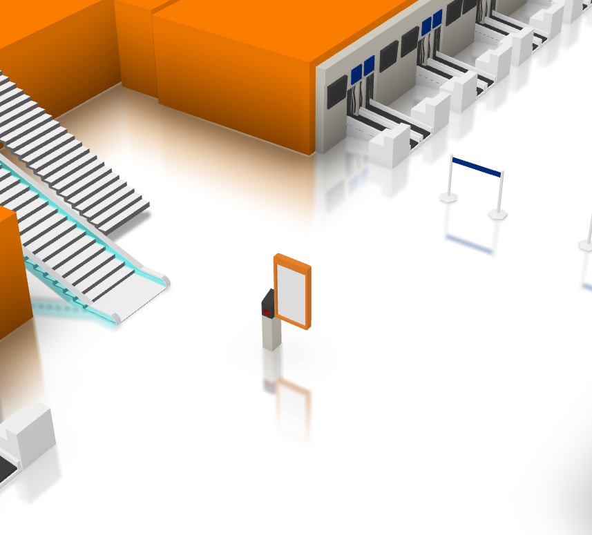
Volumes, entrances and level changes provide tangible landmarks. Users search for a service or destination, then follow a visual route or detailed step-by-step directions.
Mobility or operational constraints can influence the route: prefer a lift, avoid an unsuitable passage or account for unavailable equipment. These rules use the data and connections configured for the site.
Reception, room, shop, equipment or service: points of interest give a map meaning. They can be a starting point, a destination or a landmark along the way.
Categories, names and practical details such as opening hours help users choose the right destination. Depending on the integrations, this information can come from your information system to stay consistent with your other tools.
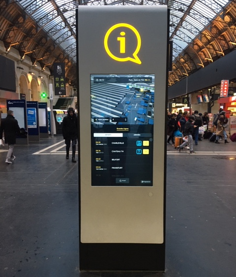
A touchscreen kiosk lets people consult the map on arrival, find a service and prepare their route. The interface adapts to the screen format and can also be offered in a browser or integrated into an application.
Deployment can use a server for remote content administration or maps available locally. The selected features and their updates are adapted to connectivity conditions on site.
Centralise maps and updates. External data can enrich wayfinding when available.
View maps and calculate routes using the local data prepared for this mode. Live information requires a connection.
Maps can support wayfinding, Beholder monitoring and Flex Office use cases, depending on the modules deployed.
The overview and first-person view complement each other: one explains the site’s layout, the other brings the route closer to what users will see on site.
Levels, volumes and recognisable landmarks make large buildings and complex places easier to read.
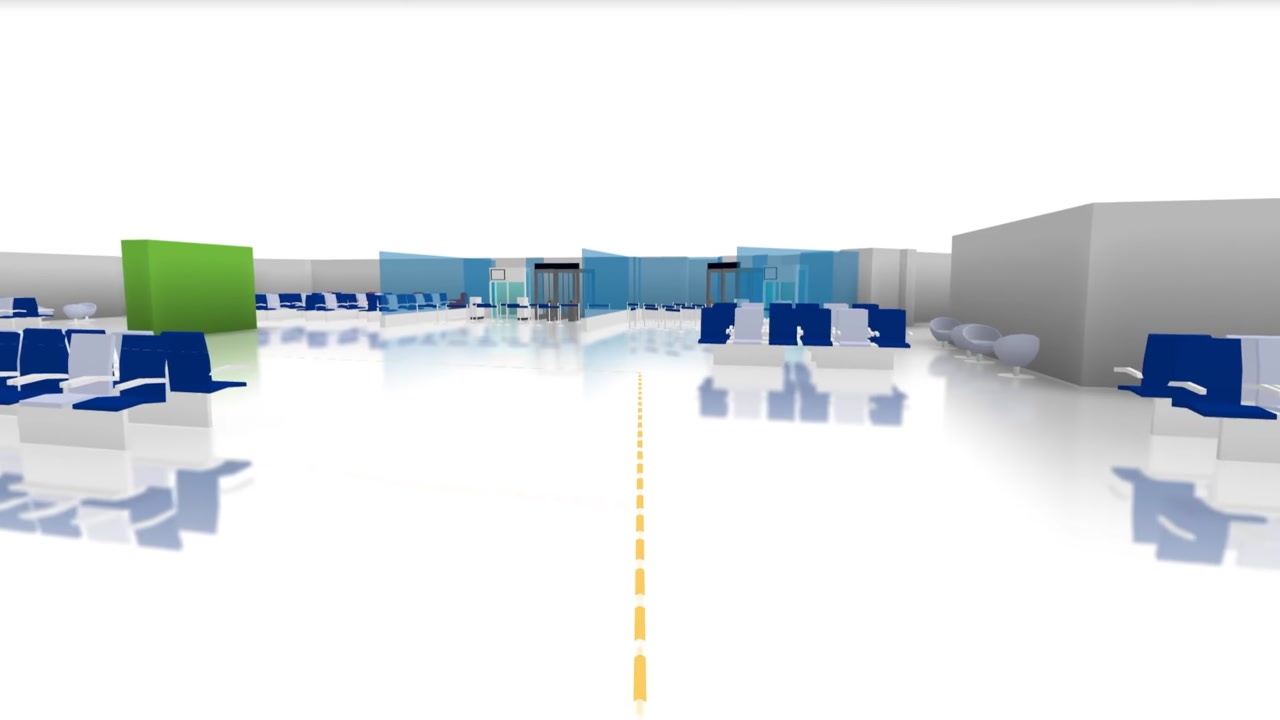
Explore the route at eye level to identify passages and prepare for changes of direction.
Destinations and constraints change; the need to find your bearings remains.
Find a service, platform, gate or connection.
Reach reception or a department using a route suited to your mobility.
Locate a building, room or piece of equipment across a large site.
Explore stands, find a conference and plan your visit.
Start with your maps, audiences and constraints to design wayfinding suited to your site.