From route calculation to guidance on site.
A useful route considers the map, the person and the context. Compass combines this information to offer understandable routes in several formats.
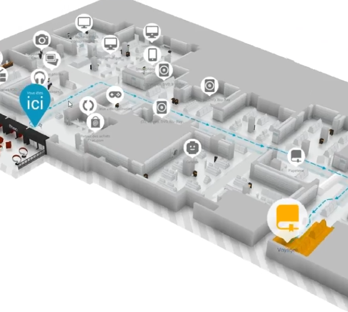
Six aspects of a clear journey.
Calculation is only one step. Wayfinding also needs to account for access, explain directions, locate users and fit into their tools.
Calculate a route from site data.
A route consists of segments and steps. The engine can consider movement speed and passage costs to estimate journey time, using external data such as waiting times when available.
Routes can be calculated by the server or from local data for offline use. Offline routes rely on information stored on the device; live changes require an accessible data source.

Adapt passages to the person and the situation.
Route rules can favour lifts for people with reduced mobility or select suitable access for a team moving a bulky load. Constraints are defined in site data according to the intended uses.
Connected to Beholder and available equipment states, wayfinding can avoid a lift or escalator reported out of service. Route suitability depends on the quality of the information and configured rules.
Preview the journey at eye level.
First-person view places users inside the digital twin. They can follow the route virtually and observe landmarks around changes of direction.
This complements the overview map by connecting an instruction to an entrance, staircase or passage visible in the representation. The dedicated page also covers augmented reality uses.
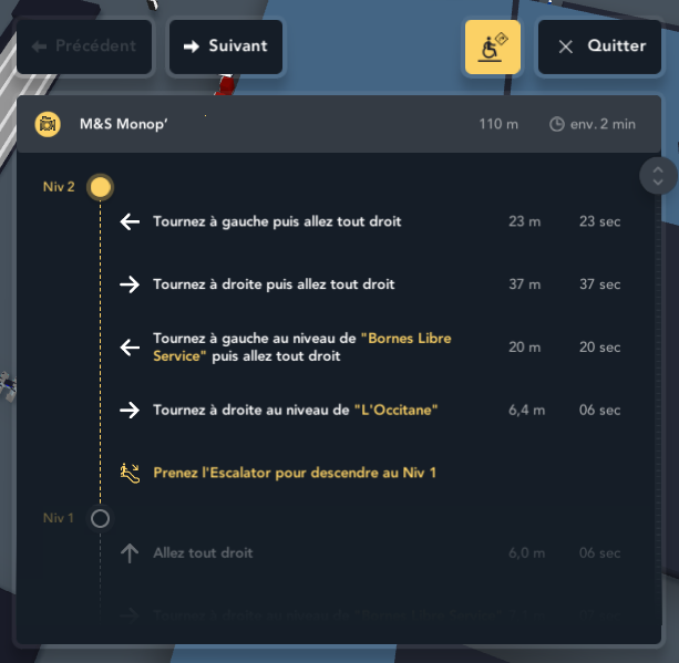
Explain every step of the journey.
A route can be presented as step-by-step directions. These steps explain the sequence of movements and complement the line shown on the map.
Text directions can be consulted alongside the map, depending on the device and user needs. The information provided depends on the calculated route and recorded landmarks.
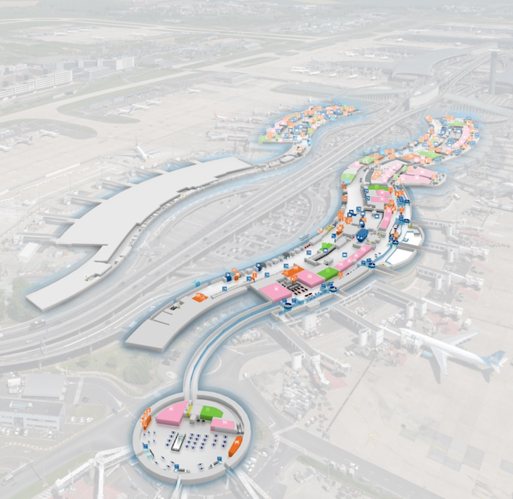
Place a position in its surroundings.
Georeferenced maps can represent objects, vehicles or people using supplied coordinates. Depending on the project, positions may come from GPS, a mobile application or a connected system.
Basemaps from compatible WMTS services can complement the maps. Indoor positioning requires a source suited to the site; accuracy, coordinate systems and update frequency are part of the integration.

Integrate wayfinding into your applications.
The SDK lets you embed Immersive viewers in your applications, while RestFrontage exposes OData and Web API services. You can connect maps and routes to your interfaces and business data.
The Developer Network brings together documentation and learning resources. Available APIs and their Swagger documentation depend on the deployed server: use the endpoint for your Immersive environment.
Design the right journey for your site.
Share your destinations, access constraints and available data to define wayfinding suited to your audiences.