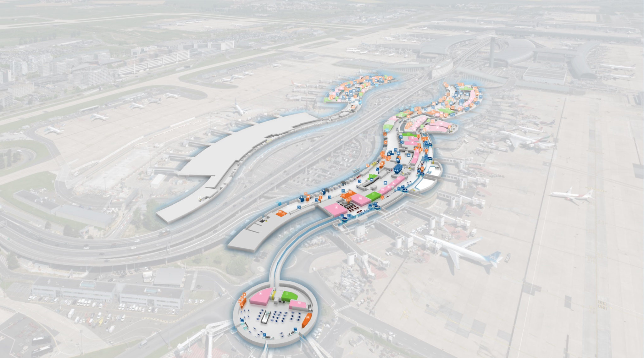
Immersive · Your business needs

Your work. Your spaces. One platform.

From loading docks to offices, hospitals and cities: connect places, data and people to make operations easier to understand and coordinate.

Immersive example: Warehouses
A view of the real world, with information tailored to each role.

Start with your needs. Build your solution.

These examples illustrate what Immersive can support. Capabilities are combined according to your data, equipment and connected systems.

Practical use cases

Logistics & industry

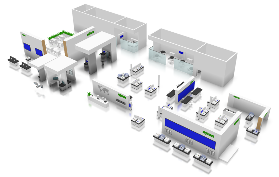
Locate equipment, track flows and connect monitoring with what happens on site.

Warehouses

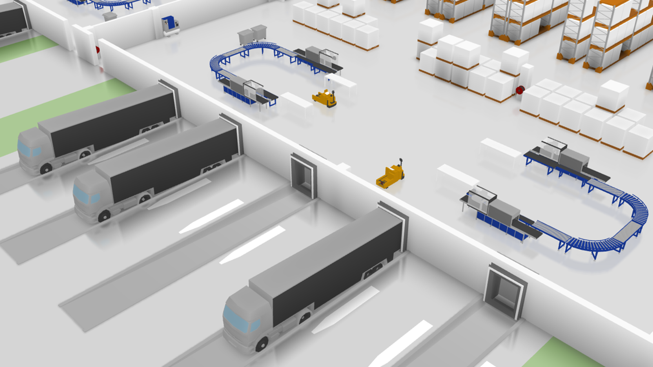
Keep an overview of movements and resources, from inventory to loading docks.
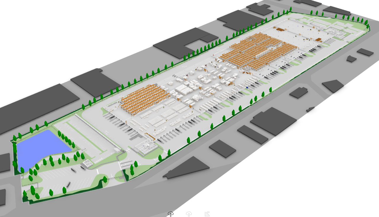
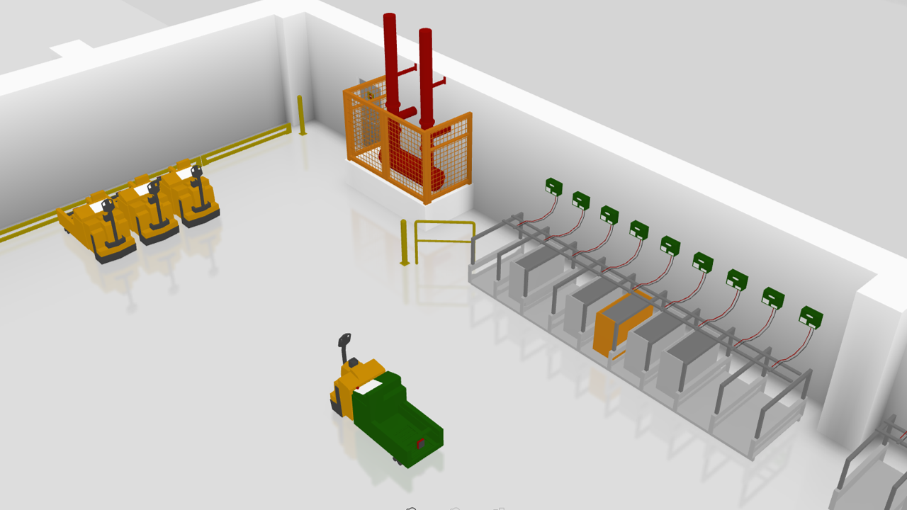
Immersive example: Warehouses

Inventory and flows

Connections to management tools and sensors, product and pallet locations, zone identification and route guidance.
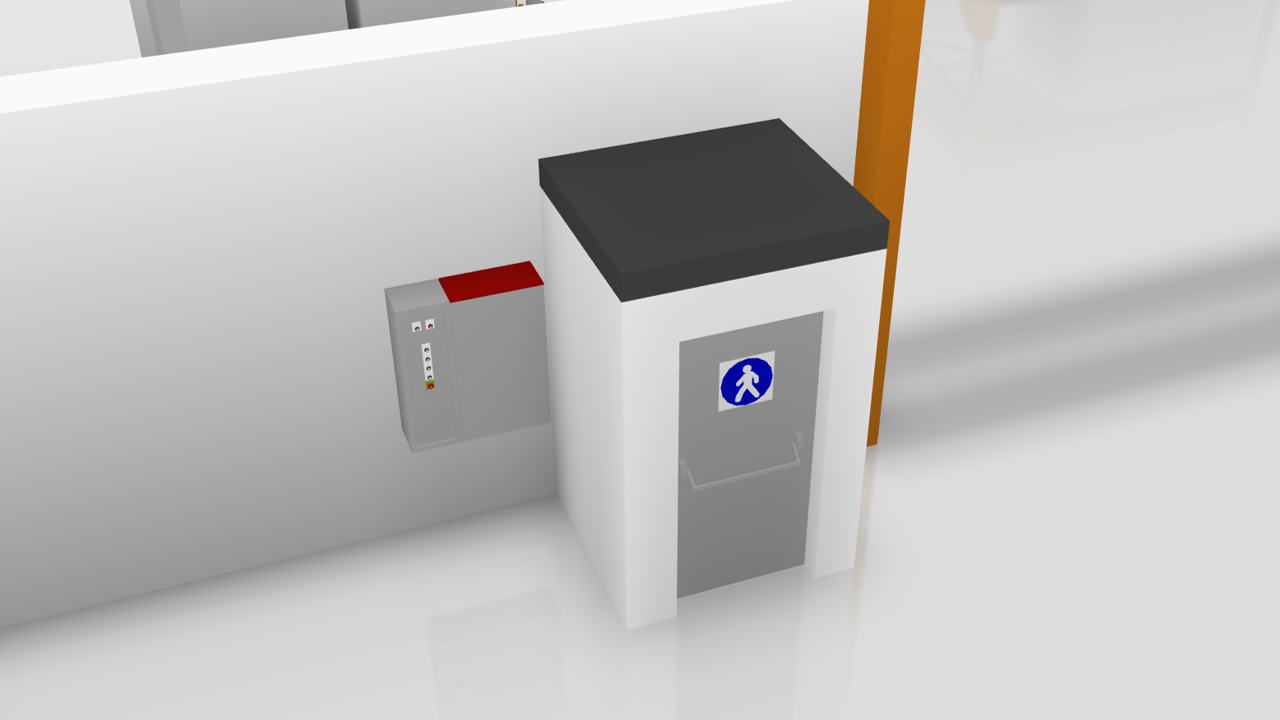
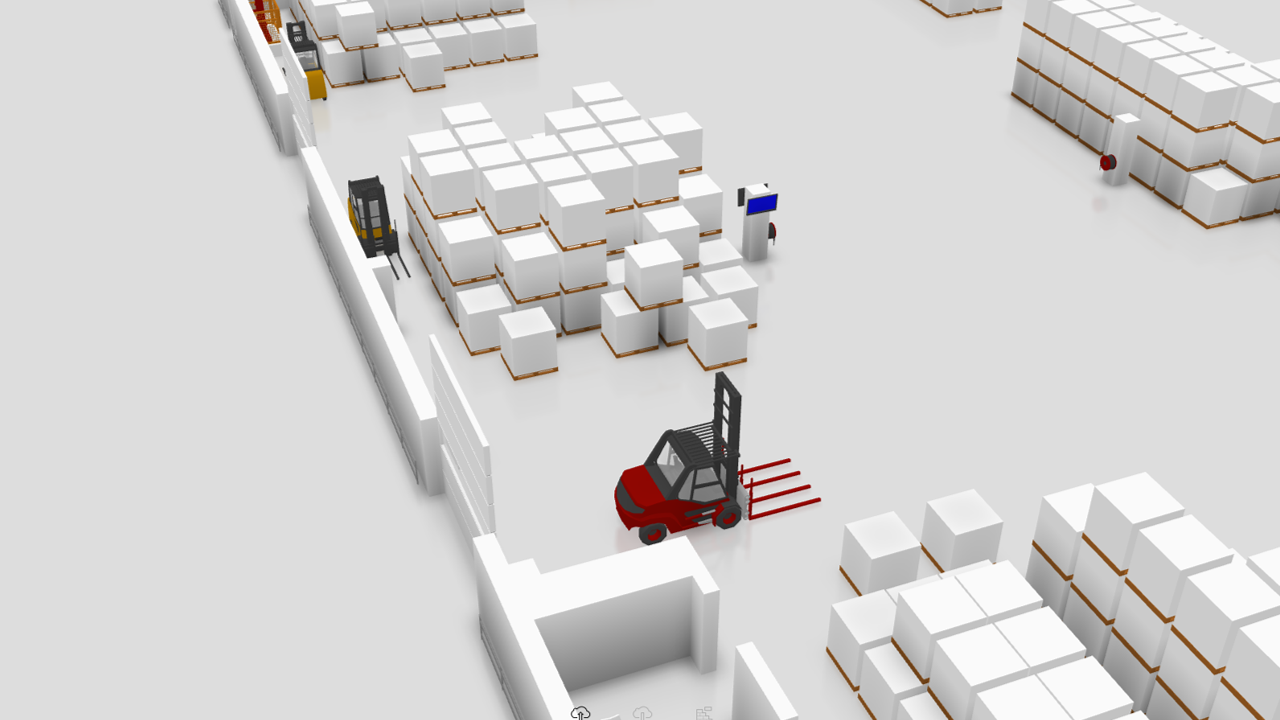
Immersive example: Warehouses — 2
Immersive example: Warehouses — 3
Immersive example: Warehouses — 4
Immersive example: Warehouses — 5

On site

Forklift and team locations, battery status, instructions, collaborative reports and delivery or loading dock monitoring.

Monitoring

Cameras, fire safety equipment maintenance, intrusion alerts, temperatures and aisle utilisation.
Technical sites & factories

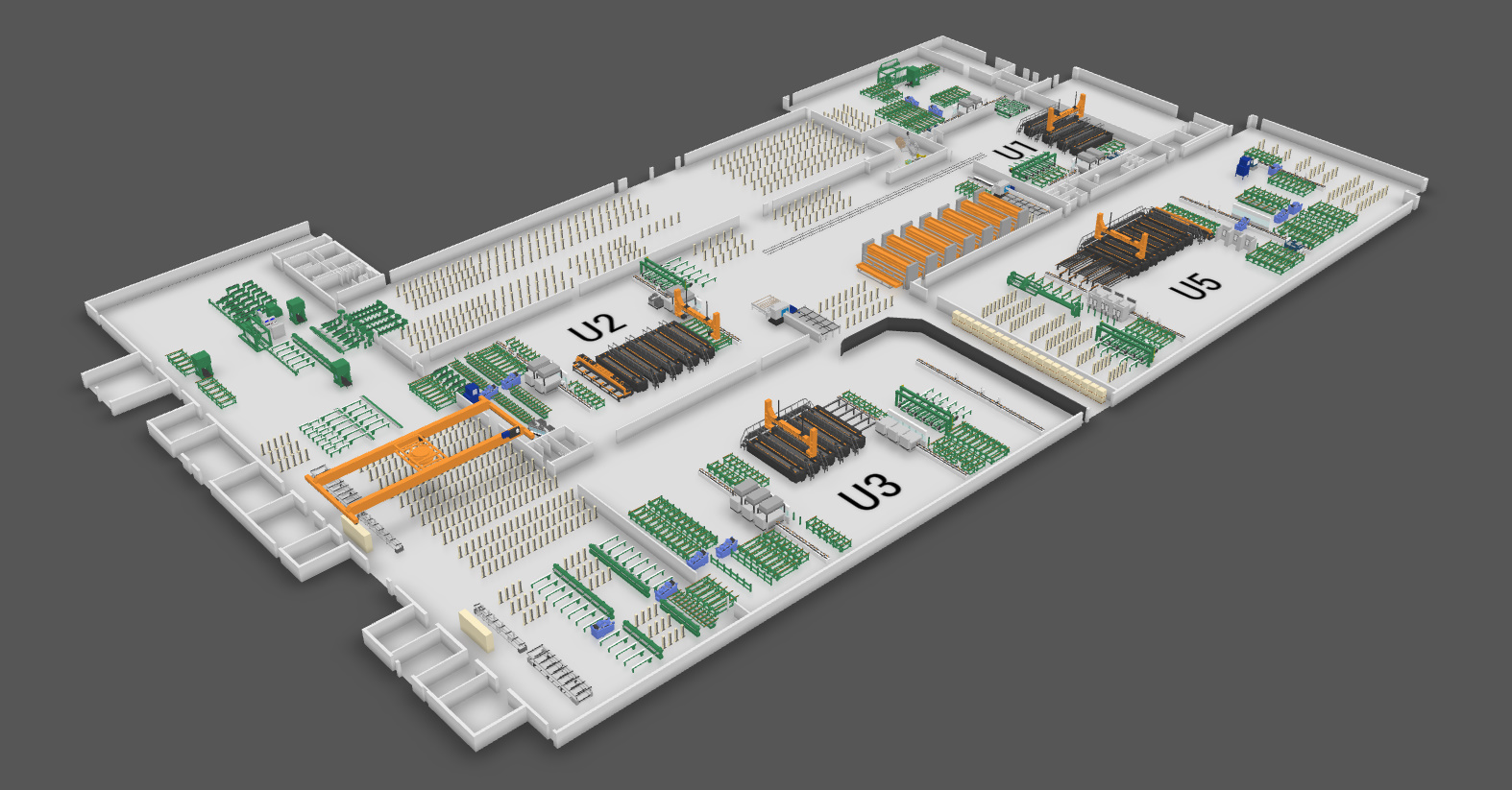
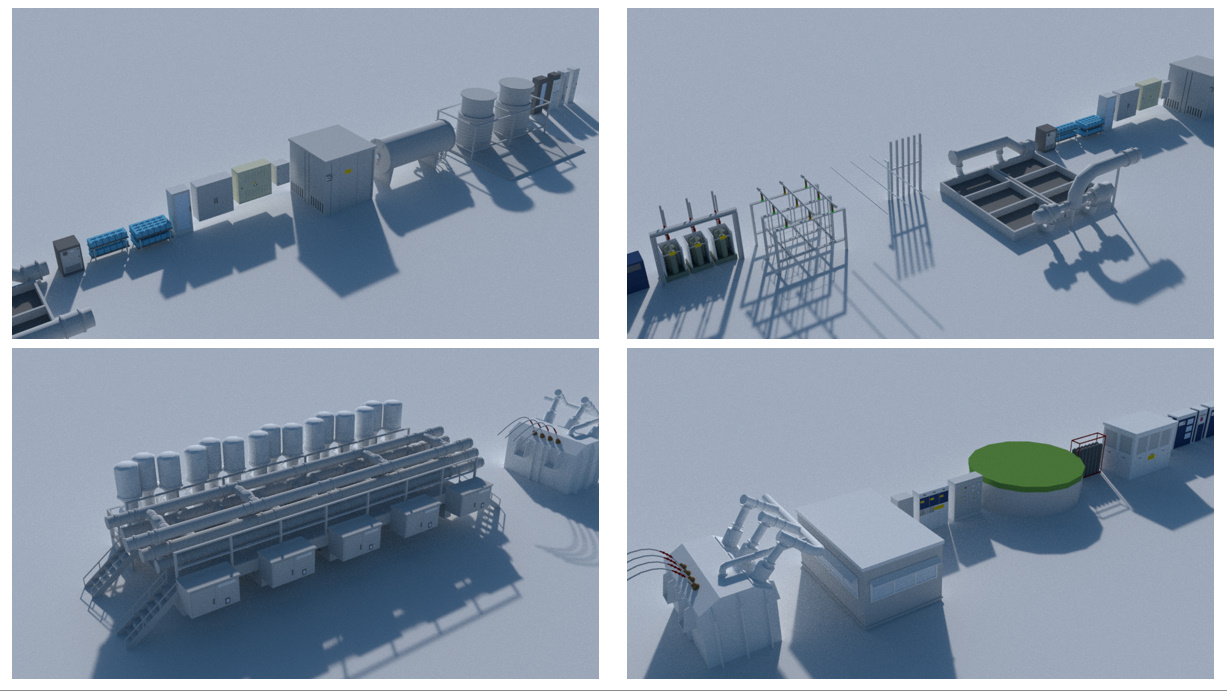
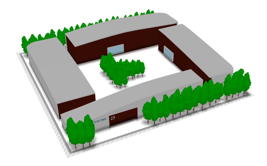
Make complex installations understandable, down to individual assets.

Immersive example: Technical sites & factories

Operations

Equipment status and characteristics, access to production tools and remote control of connected devices.

Immersive example: Technical sites & factories — 2
Immersive example: Technical sites & factories — 3

Maintenance

Documentation, service requests, maintenance team tracking, temperatures, occupancy and noise levels.

Safety and plans

Cameras, fire alerts, fire safety maintenance, presence detection, alarm zones and site mapping for different formats.

Practical use cases

Buildings & living spaces

Make daily life easier for occupants and coordinate services around a shared view of the site.

Offices & workplaces

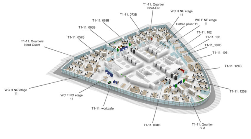
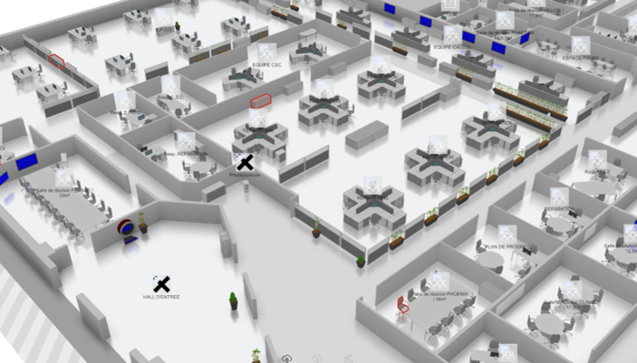
Support new ways of working with booking, wayfinding and workplace services.

Flex Office

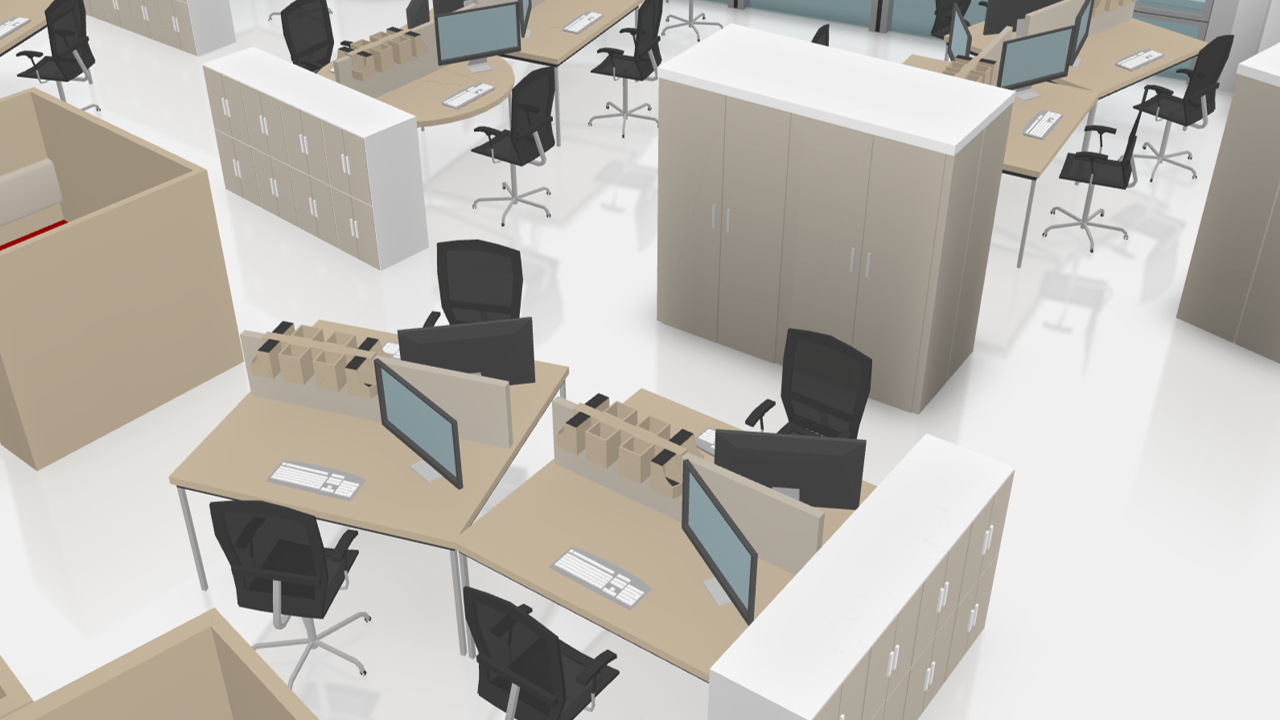
HR tool integration, desk, room and resource booking, remote work planning and finding colleagues or meetings.

Immersive example: Offices & workplaces — 1
Immersive example: Offices & workplaces — 2
Immersive example: Offices & workplaces — 3
Immersive example: Offices & workplaces — 4

Wayfinding

Phone and touchscreen kiosk guidance, routes between buildings, access to services and finding available meeting rooms.

Facility management

Lighting and HVAC, temperature, occupancy, noise and service requests. Security: cameras, fire safety, intrusion, access, windows and alarm zones.

Residential communities

Connect building services with residents’ needs.

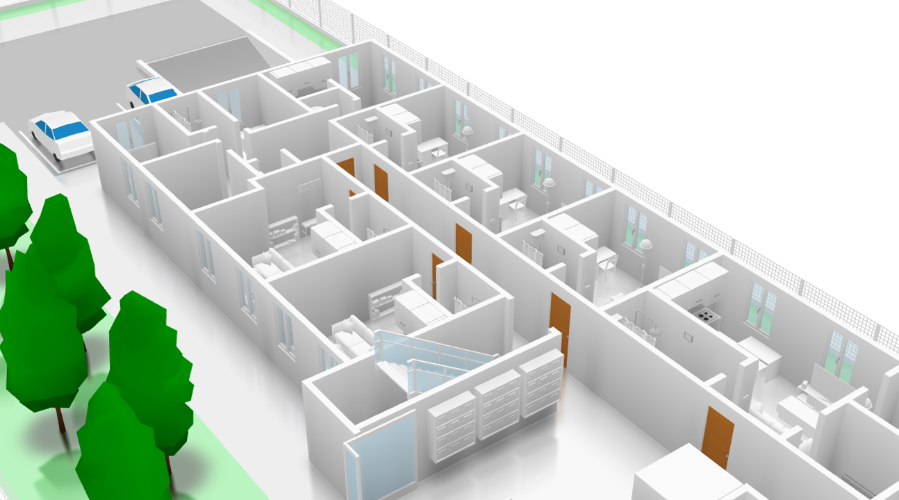
Immersive example: Residential communities

Building

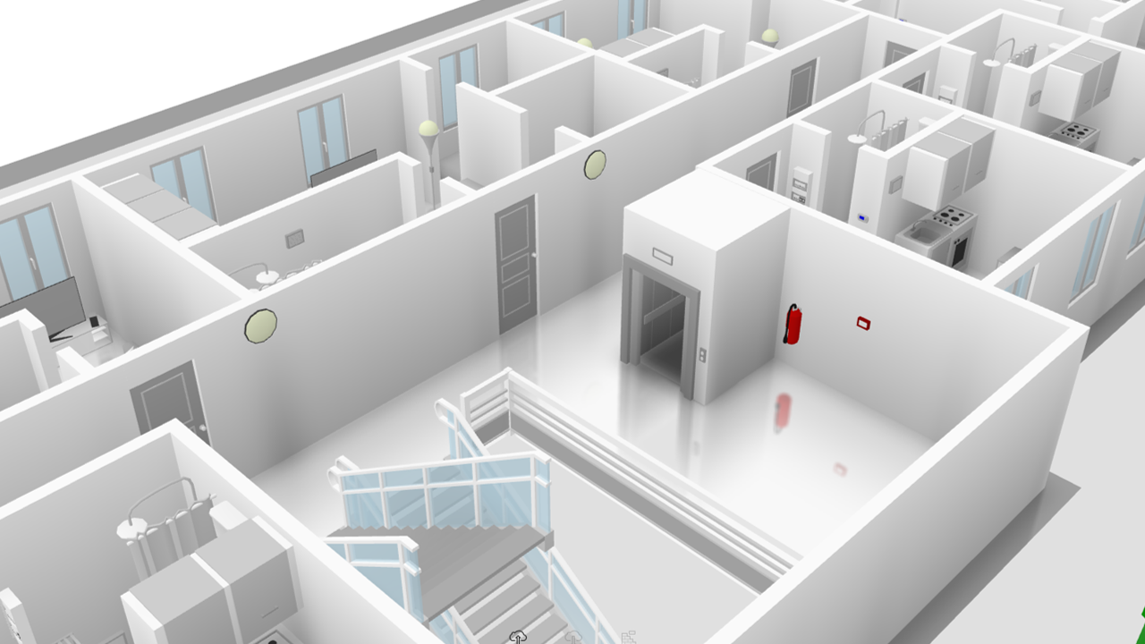
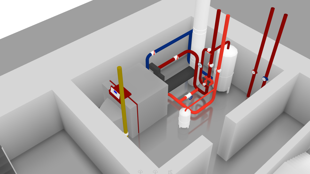
Lighting, heating, cooling, door and parking access, communal utility meters, ventilation, badges and lifts.

Immersive example: Residential communities — 2
Immersive example: Residential communities — 3
Immersive example: Residential communities — 4
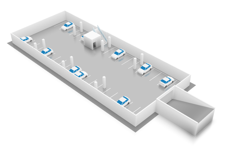
Immersive example: Residential communities — 5

Services

Support for older residents, water heater controls, freezer temperature, mailbox status and guest wayfinding.

Community

Shared parking and vehicles, communication between residents and managers, incident reporting. Security: cameras, fire safety, intrusion and alarm zones.

Hospitals & clinics

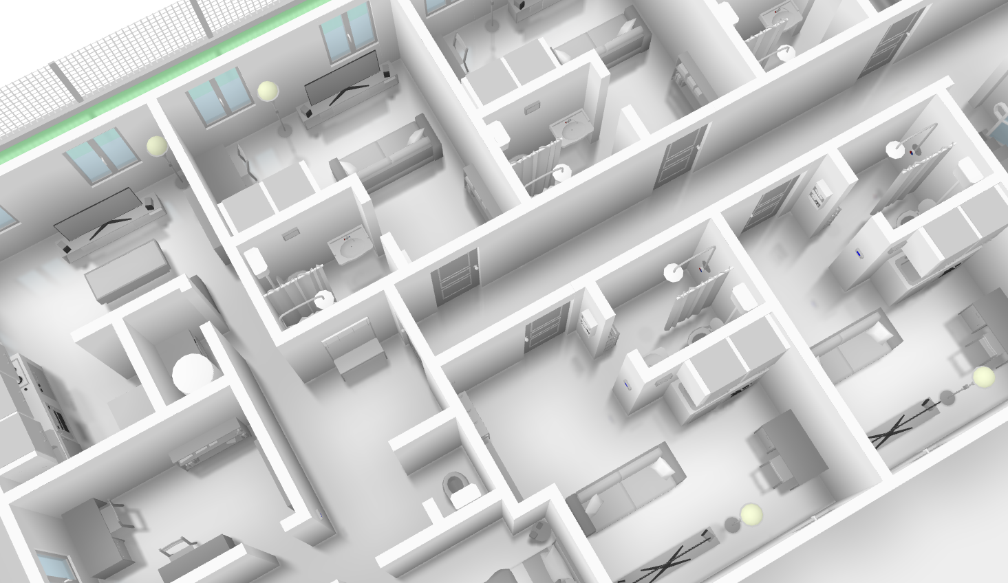
Make navigation easier and provide a clear view of resources and facilities.

Visitor support

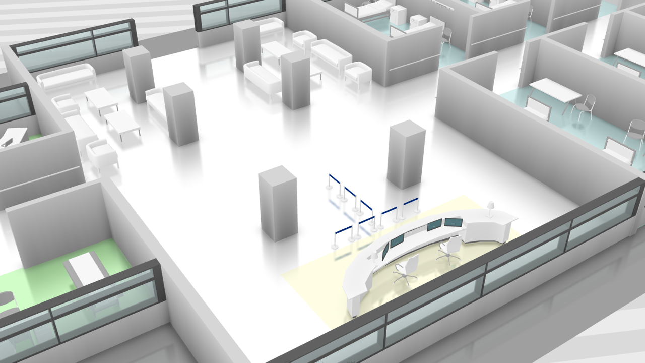
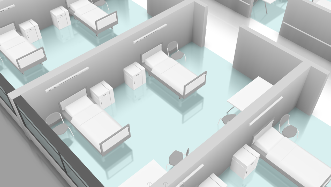
Phone or kiosk guidance to departments, doctors or authorised destinations; nurse call integration.

Immersive example: Hospitals & clinics — 1
Immersive example: Hospitals & clinics — 2
Immersive example: Hospitals & clinics — 3

Coordination

Equipment search, room scheduling, meeting room booking, access management and tracking maintenance or cleaning contractors.

Facilities

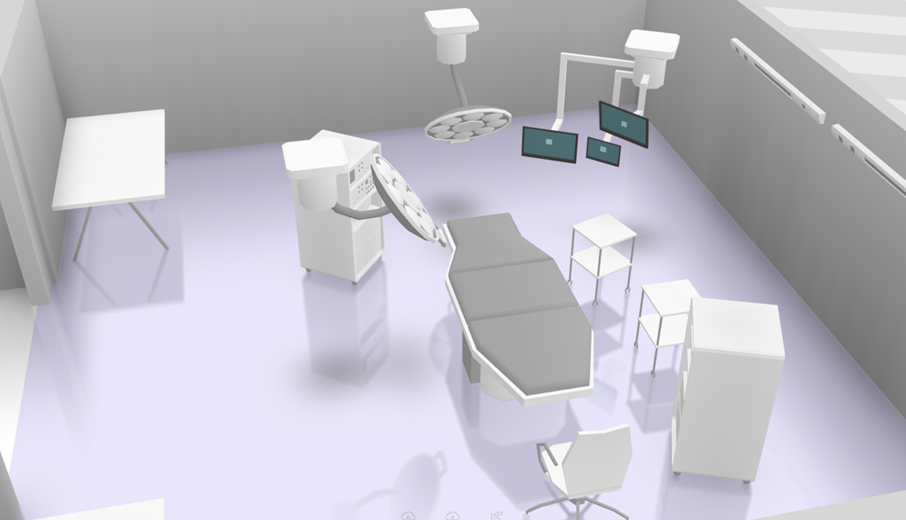
Air handling, power supply, operating theatre pressure, temperature and humidity, lifts and goods lifts. Security: cameras, fire safety, intrusion, windows and alarm zones.

Practical use cases

Visitors & public spaces

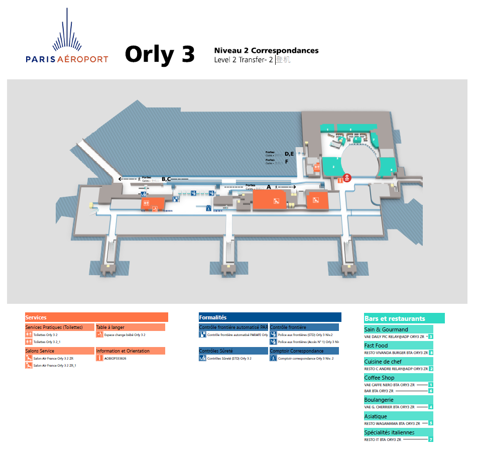
Help everyone find their way and give teams the information they need to assist visitors and respond effectively.

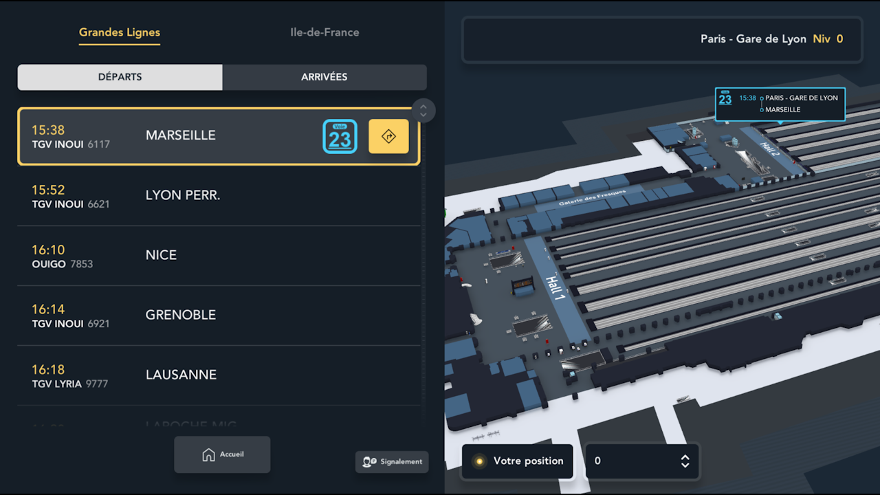
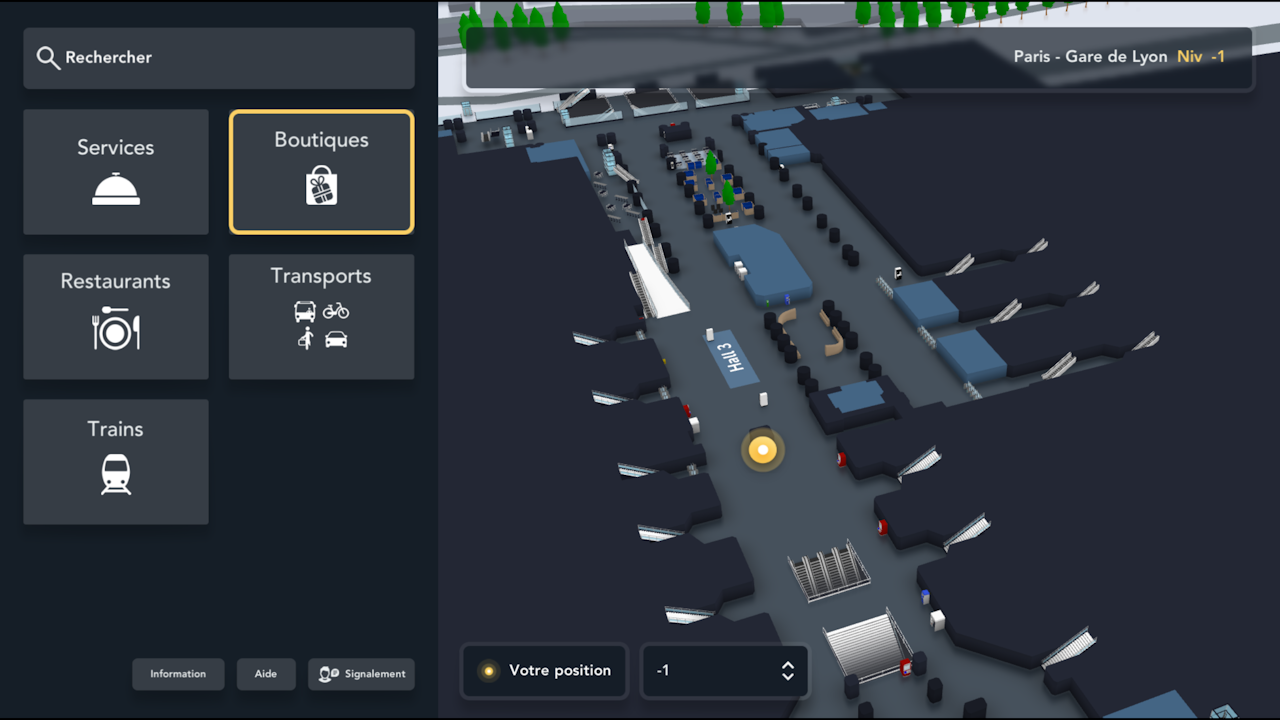
Passenger wayfinding

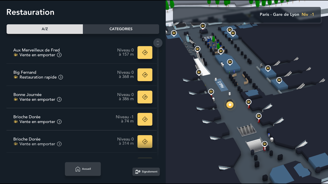
Routes adapted to destinations, individual needs and conditions on site.

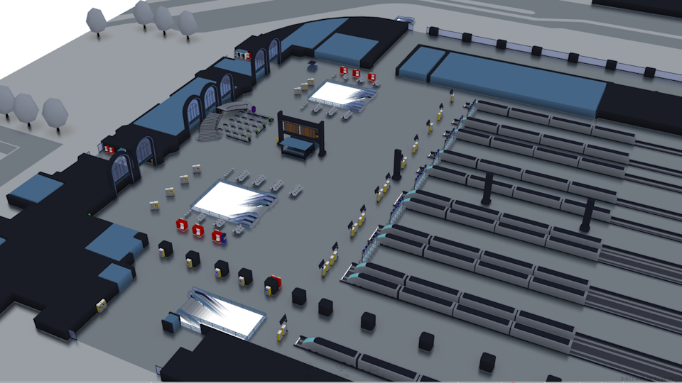
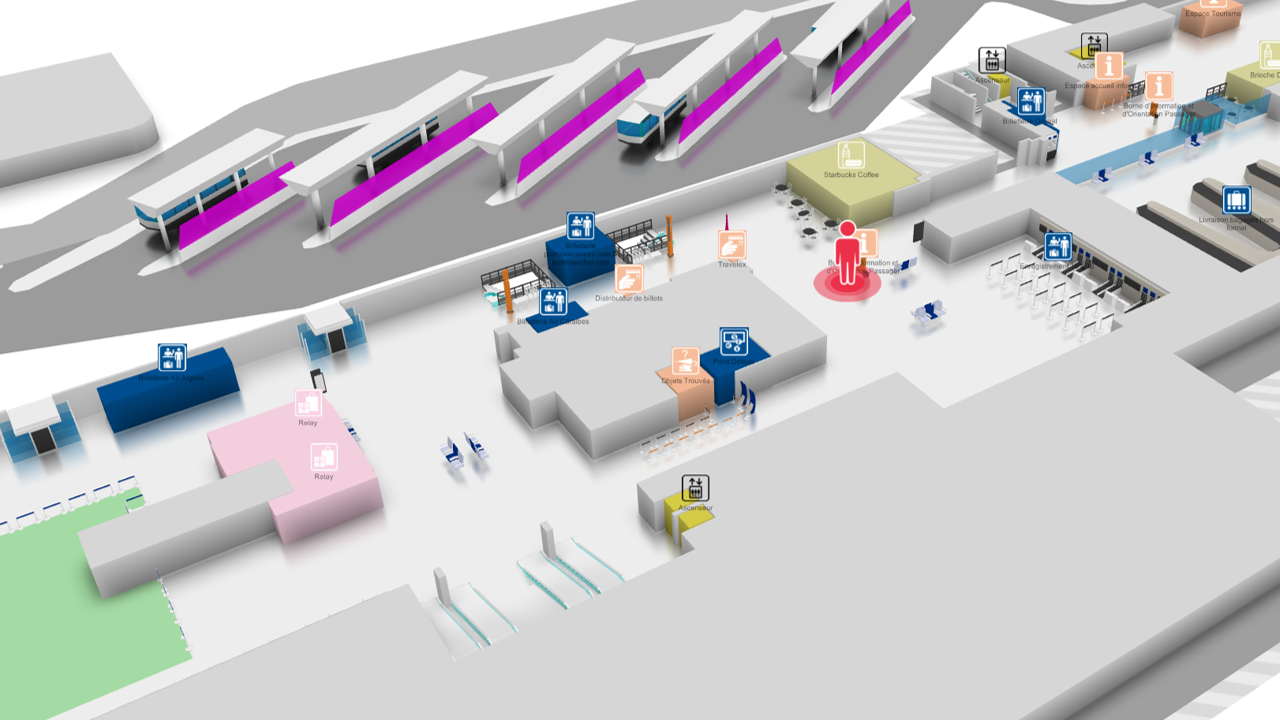
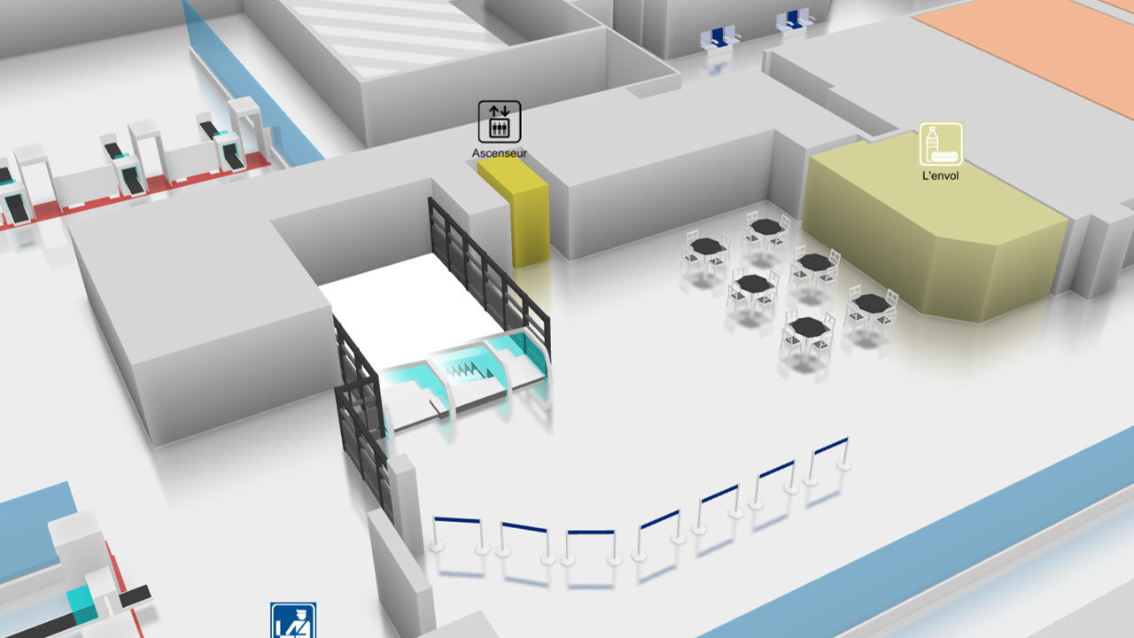
Immersive example: Passenger wayfinding

Data

Points of interest, services, categories and opening hours in an extensible model; standardised data and OData services.

Immersive example: Passenger wayfinding — 2
Immersive example: Passenger wayfinding — 3
Immersive example: Passenger wayfinding — 4
Immersive example: Passenger wayfinding — 5
Immersive example: Passenger wayfinding — 6
Immersive example: Passenger wayfinding — 7

Routes

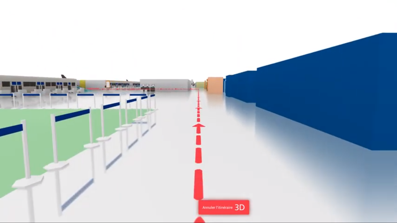
Visual, immersive or text guidance, online or offline, mobility and accessibility requirements, brand identity and 3D landmarks.

Context

Lift and equipment status, traffic, queues and waiting times. Collaboration: location sharing, visitor reports and event promotion.

Retail networks

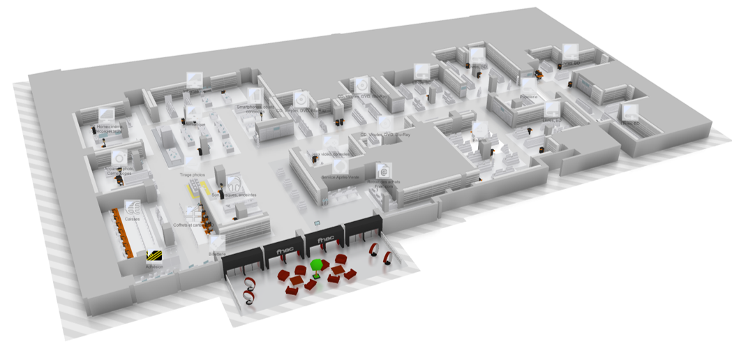
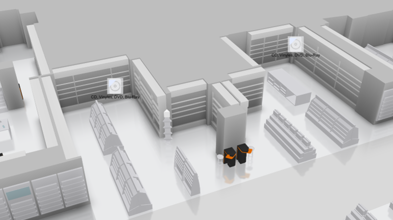
Bring inventory, services and wayfinding together to support sales teams.

Sales

Stock levels by aisle, replenishment, management system integration, retailer-supplier collaboration and pending order tracking.

Immersive example: Retail networks — 1
Immersive example: Retail networks — 2
Immersive example: Retail networks — 3
Immersive example: Retail networks — 4

Customer journeys

Find products, aisles or services by phone or kiosk, request a sales assistant and publish store maps on the network’s website.

Site

Lighting, HVAC, temperature, occupancy, noise and service requests; cameras, fire safety maintenance, intrusion, access, windows and alarm zones.

Shopping centres

Coordinate visitor services and operations, from the car park to the shops.

Visitors

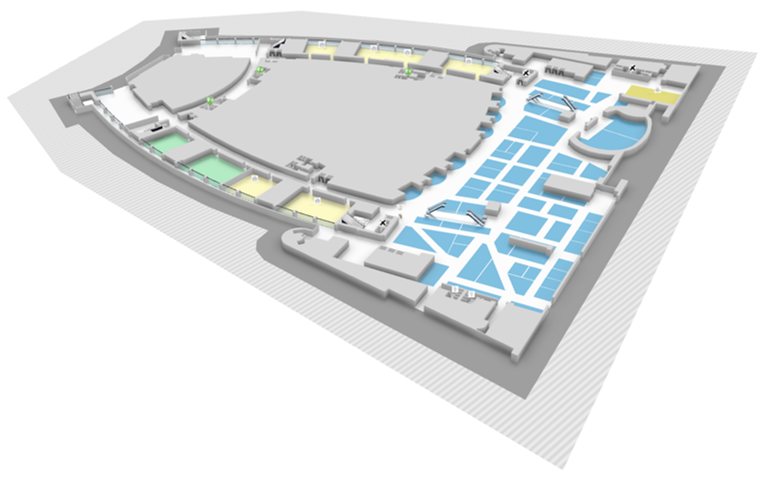
Shop maps, store, product and service search, phone or kiosk guidance, help requests and website integration.

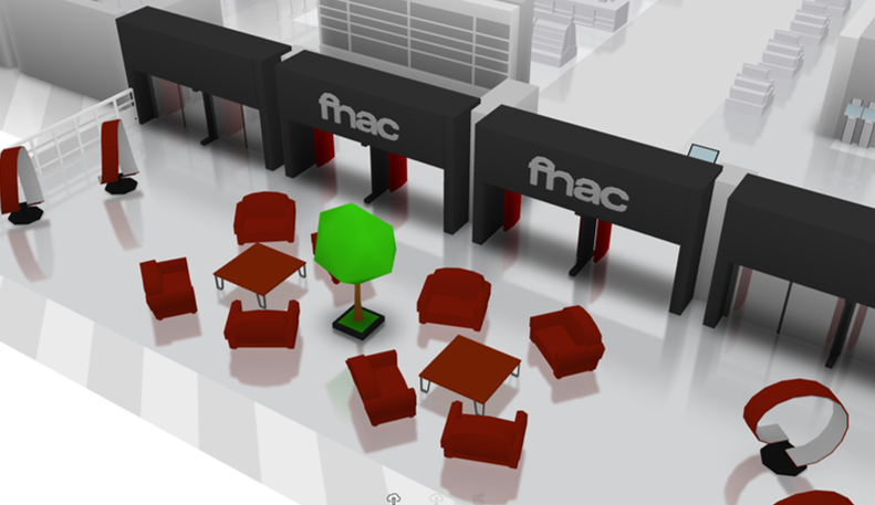
Immersive example: Shopping centres — 1
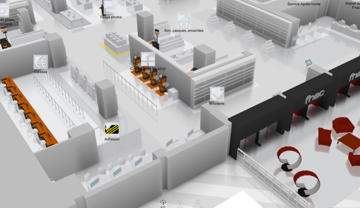
Immersive example: Shopping centres — 2
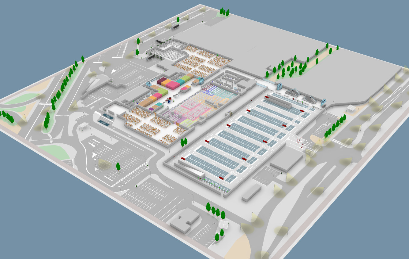
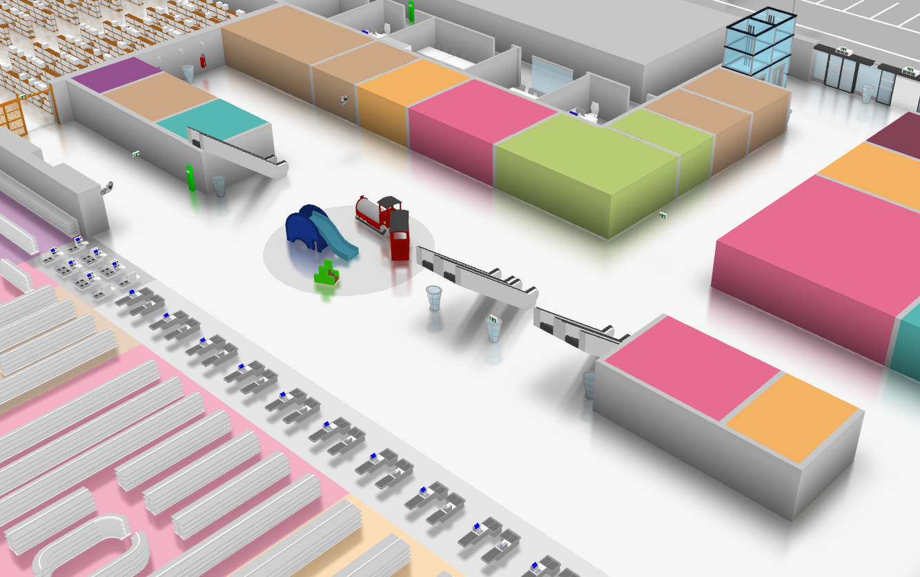
Immersive example: Shopping centres — 3

Operations

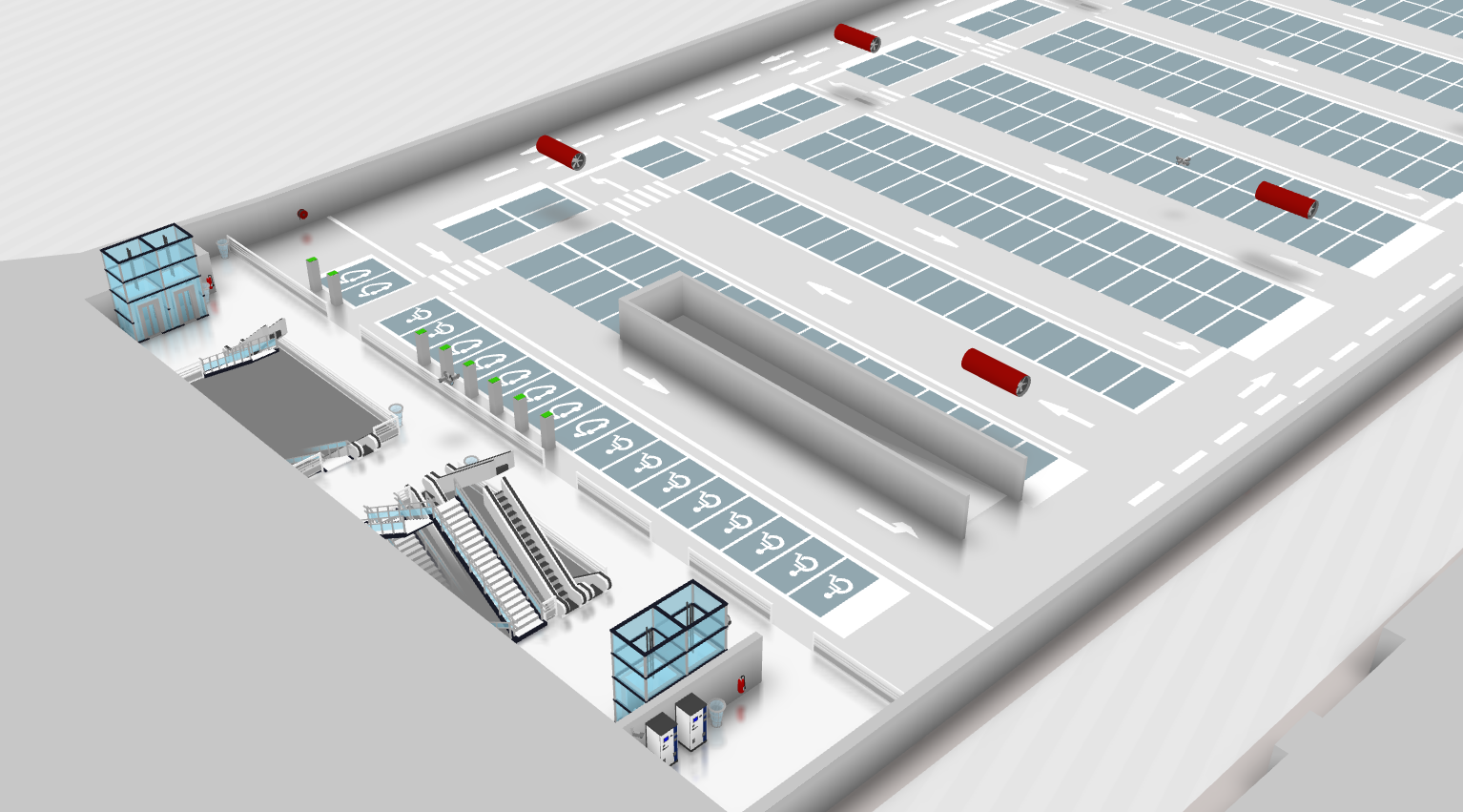
Lighting, HVAC, temperature, noise, occupancy and service requests; parking, loading docks, traffic, streetlights, EV chargers and solar panels.

Security

Cameras, fire safety equipment maintenance, intrusion alerts, access management and alarm zone monitoring.

Local authorities & cities

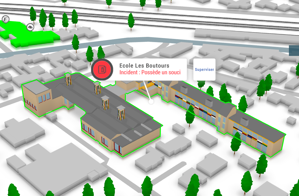
Connect buildings, urban assets and reports from the field.

Immersive example: Local authorities & cities

Assets

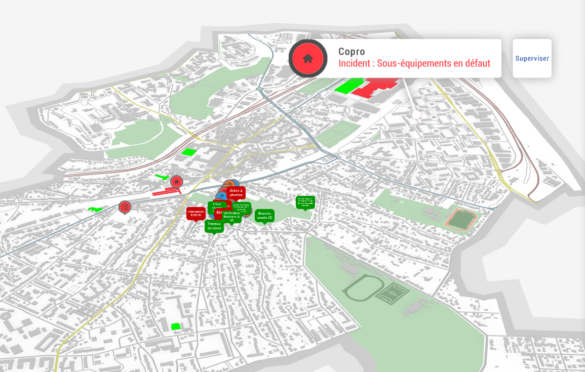
Monitoring from a city map, building and equipment tracking, tree inventories and reporting to a central control point.

Immersive example: Local authorities & cities — 2
Immersive example: Local authorities & cities — 3
Immersive example: Local authorities & cities — 4
Immersive example: Local authorities & cities — 5

Quality of life

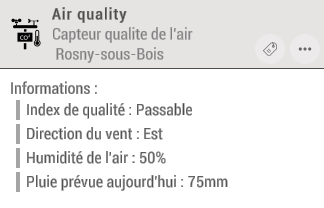
Resident reports, roadworks, waste bins, air quality, wind, noise, public building opening hours and occupancy.

Response

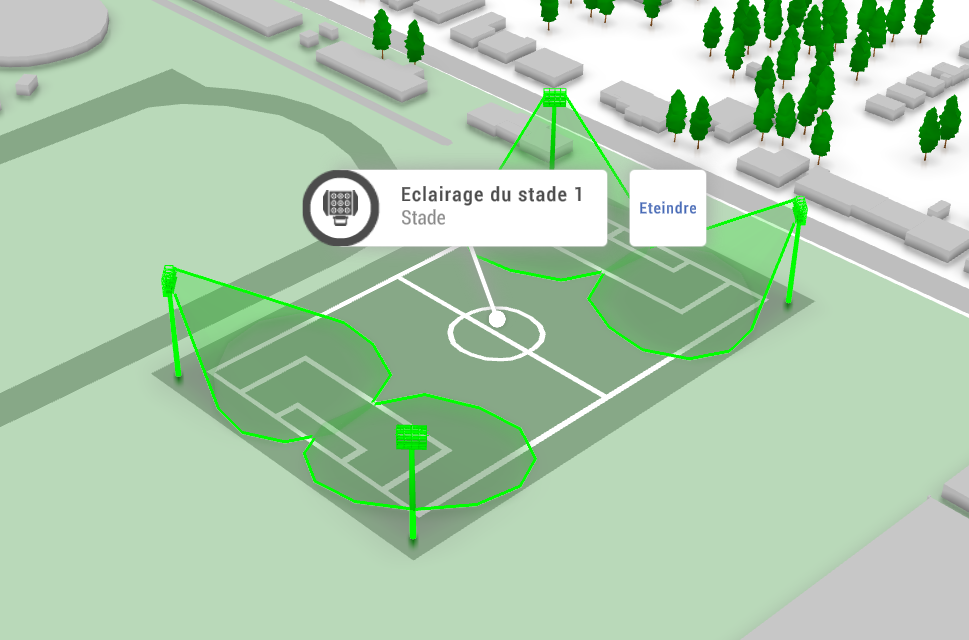
Remote lighting, traffic lights, pipes, parking meters, patrol location and dispatch. Building security: cameras, fire safety, intrusion, access and alarms.

Exhibitions & events

Living maps to find a stand, explore a theme or reach a conference.

Immersive example: Exhibitions & events

Wayfinding

Phones, touch kiosks and QR codes linking to stands, products, services and conferences; themed routes and event promotion.

Immersive example: Exhibitions & events — 2

Accessibility and publishing

Mobility requirements, lift and escalator status, maps and wayfinding features for website integration.

Operations

Temperature, occupancy, noise and service requests; fire alerts, cameras, fire safety maintenance and alarm zones.

Museums

Make visits more intuitive and collections easier to explore.

Immersive example: Museums

Visits

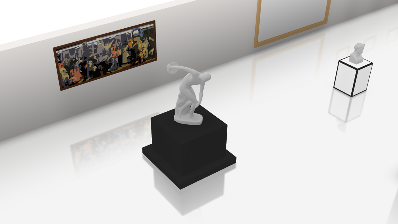
Themed routes, phone and kiosk wayfinding, event promotion and contextual documentation.

Operations

Temperature, presence, occupancy, noise, service requests, documentation and maintenance team tracking.

Safety and maps

Fire alerts, cameras, fire safety maintenance, alarm zones, presence detection and mapping for different formats.

Practical use cases

Maps & publishing

Bring your plans to different formats using the same data.

Business maps & GIS

Simplify complex plans and make information useful to every role.

Immersive example: Business maps & GIS

Maps tailored to each role

Adapt map representations to the information and workflows each team needs.

Connect your GIS

Integrate Immersive with your geographic information system to provide content to other applications or partners.

Interoperability

Use OData services to exchange data between Immersive and your infrastructure.

Printed maps & posters

Turn digital maps into print materials that match your visual identity.

Immersive example: Printed maps & posters

The right format

Create printable plans at the required dimensions from maps built in Immersive.

Your visual identity

Customise brand elements in a reusable publishing project.

Reuse your data

Reuse Immersive data to reduce duplicate entry when updating materials.

Different industries. A shared foundation.

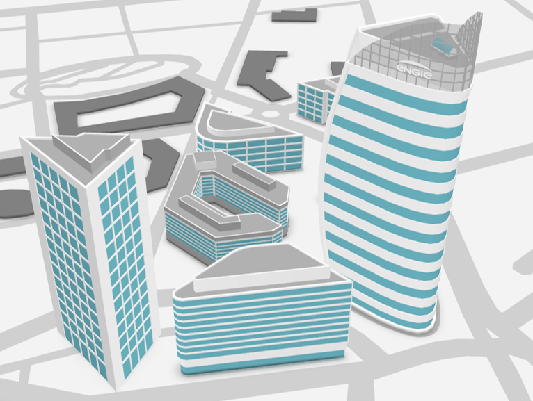
Maps, connections to existing systems and Immersive interfaces bring these use cases together in a solution tailored to your organisation.
Your project

See Immersive with your own data.
Tell us about a site, a floor plan or an operational need. We will show you the most suitable implementation approach.